K
U
A
K
A
T
A

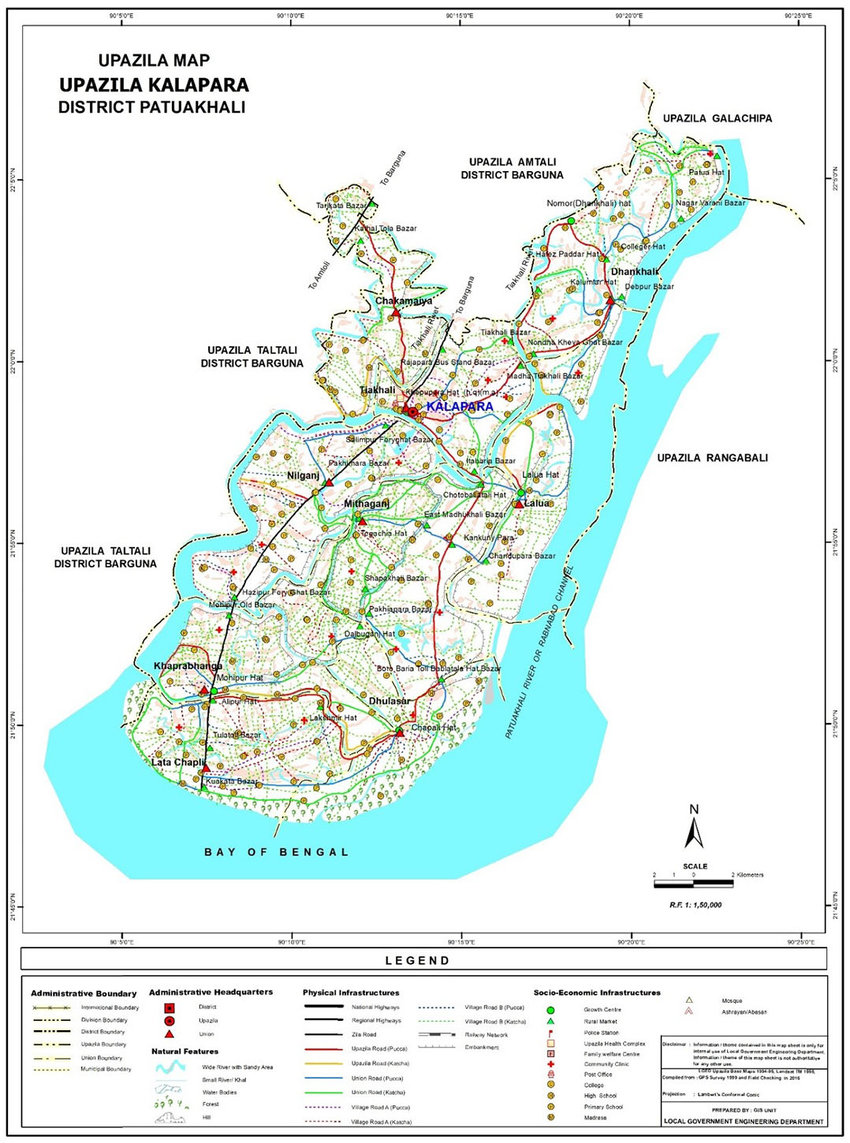
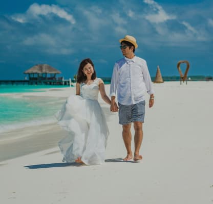
Kalapara or Khepupara is an upazila under the Patuakhali district of Bangladesh. Many people also know it as Khepupara. Bangladesh’s second beach, Kuakata, is located in this upazila.
Khepupara has a rich history. It was one of the early upazilas involved in the cooperative movement in Bangladesh. During the British era, Khepupara established the largest wind-powered rice mill in Asia through the cooperative movement. The cooperatives of Khepupara also set up an oil mill, a match factory, a printing press, a cinema hall, and many other things. However, the cooperative movement in Khepupara has now slowed down.
One of the four radar stations in the country is located in Khepupara. Electricity reached Khepupara in 1976, and telephone facilities were also introduced around the same time.
Kalapara is bordered by Amtali Upazila to the north and west, Rabnabad Channel and Galachipa Upazila to the east, and the Bay of Bengal to the south. Geographical coordinates: 21°59'10" N, 90°14'32" E / 21.9861° N, 90.2422° E.
Naming: Although the upazila's name is Kalapara, it is equally known as Khepupara. Two Rakhine brothers named Khepu and Kalao cleared the jungle and made this area suitable for habitation. It is said that Khepu and Kalao lived on the two banks of a canal that flows north to south through the upazila town. Kalao lived on the east bank and Khepu on the west. The settlement on the east bank became known as Kalapara after Kalao Magh, and the west bank became known as Khepupara after Khepu Magh. It is known that Khepu and Kalao came here from Rangabali. Kalao was the elder brother, and Khepu was the younger. Each was the leader of their respective side. Kalao lived for about 80 years. Their homes and graves have since been submerged by the Andharmanik River. The canal dividing the two sides still flows today, starting from the old Khatpatty sluice gate, passing through the Kumarpatty culvert and the Akhrabari culvert, and flowing alongside Chingria. Over time, the two names became permanent names for the same town. Economy The economy of Kalapara is mainly dependent on agriculture. However, most people make a living by fishing in the sea. Many run their households by selling fish. In addition, people prepare dried fish, and women at home make shell necklaces and embroidered quilts (Nakshi Kantha). Kuakata, which is part of this upazila, is a tourist center, so various restaurants and residential hotels have been established for tourists. These businesses serve as the main economic drivers. Although Kuakata’s primary economy is based on fishing, economic growth has occurred through the establishment of restaurants and hotels. The canal dividing the two sides still flows today, starting from the old Khatpatty sluice gate, passing through the Kumarpatty culvert and the Akhrabari culvert, and flowing alongside Chingria. Over time, the two names became permanent names for the same town.
The economy of Kalapara is mainly dependent on agriculture. However, most people make a living by fishing in the sea. Many run their households by selling fish. In addition, people prepare dried fish, and women at home make shell necklaces and embroidered quilts (Nakshi Kantha). Kuakata, which is part of this upazila, is a tourist center, so various restaurants and residential hotels have been established for tourists. These businesses serve as the main economic drivers. Although Kuakata’s primary economy is based on fishing, economic growth has occurred through the establishment of restaurants and hotels.